A map is a starting point.
Check local access, crossings and closures. Routing data may include stairs, unlit paths or sections that are unsuitable for running.
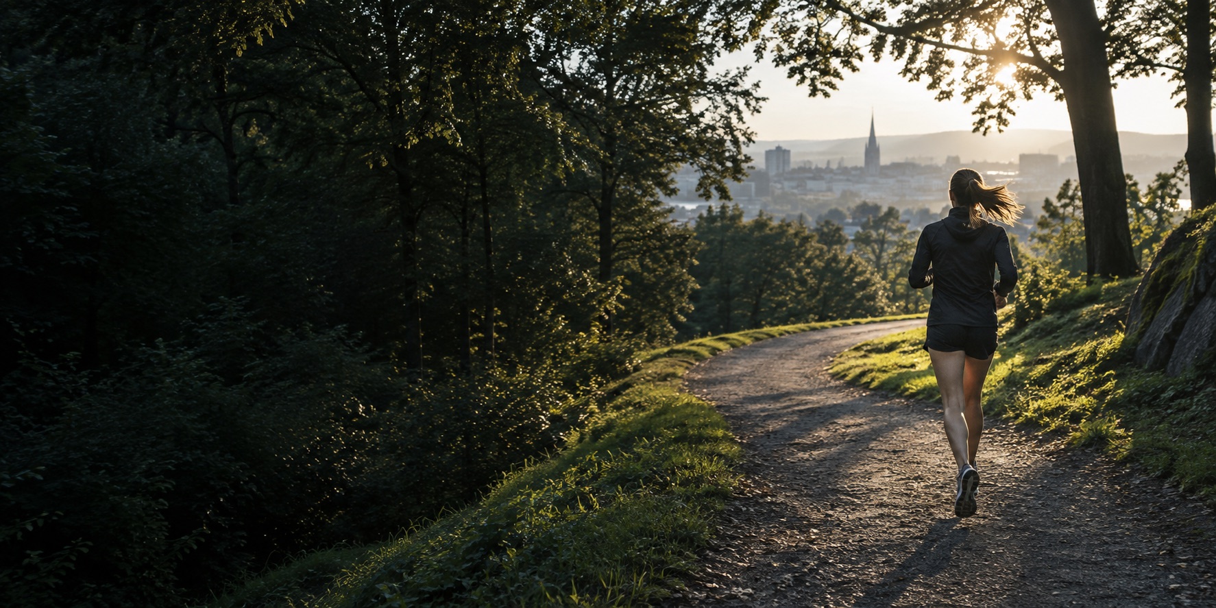
A RUNNING ROUTE, MADE FOR YOU
Start anywhere. Pick a distance. Find a new way back.
Plan a routeChoose a start and a distance. RIDGE follows mapped paths and brings you back.
Routes you want to come back to.
Stored only in this browser. GPX files contain route coordinates.
RIDGE finds a route. You know the ground best.
Check local access, crossings and closures. Routing data may include stairs, unlit paths or sections that are unsuitable for running.
Look up the weather and daylight before leaving. RIDGE does not provide live weather, surface conditions or safety assessments.
Take water, a charged phone and suitable layers. Import your GPX into a navigation app before setting out.